Sven Klinkenbergh, Principal Consultant at Tetra Tech, discusses the role peatland management and stability risk assessments play in renewable energy projects and peatlands restoration initiatives.
A peatland, also referred to as a bog or a mire, is a type of wetland consisting of decaying plant matter that creates a unique kind of soil (known as peat) due to waterlogged conditions. Peatland can play an important role in carbon storage and biodiversity.
As the number of renewable energy projects increase and government incentives across the UK and Ireland for peatland restoration projects gain momentum, Sven Klinkenbergh elaborates on the importance of risk assessments and the wider value peatland restoration projects can bring to businesses and communities.

What businesses need support with peatlands?
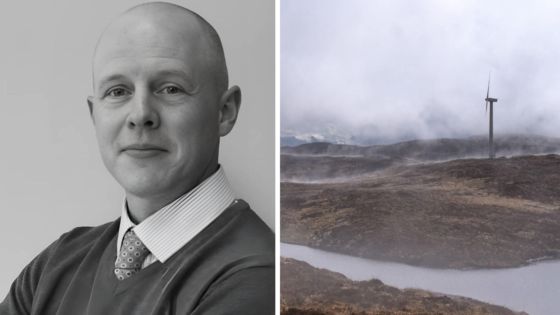
Wind farm developments are a large portion of the industry. These projects are usually placed in remote, high elevation locations – which tend to be blanket bog in Ireland. There have been several high-profile peat landslides in recent years. As a result, planning authorities have upskilled and learned from the increase in wind farm developments in peatland areas. There is now a better understanding of large development in peatland areas, where there is an inherent risk of causing a landslide, if you try to build a road or excavate a foundation in the wrong place.
In Ireland for example, peatland covers nearly 20% of the country’s land mass. For a business, that means if you are planning a development in a peatland area you need to be aware of the hazards, like potential landslides, impacts to the downstream rivers and sensitive habitats.
At Tetra Tech we also support a large number of peatland restoration projects. Peatland restoration is promoted to enhance biodiversity and to reduce greenhouse gas emissions. We work with organisations such as the National Parks and Wildlife Service (NPWS), Bord na Móna and Coillte, who have large portfolios of peatlands they are proposing to or currently restoring.
The UK government-backed ‘Peatland Code’ initiative allows landowners to get payments through selling carbon units generated through peatland restoration activities, increasing restoration project demand. The establishment of Peatland Finance Ireland will open this space up to more landowners in the coming years.
According to the 2019 Status of EU protected Habitats and Species in Ireland the condition of peatland habitats protected in Ireland as Special Areas of Conservation, unfortunately align with the European Union wide assessment of habitats. During the 1950s in Ireland, the state invested heavily in afforestation of vast areas of the west of Ireland covered in blanket bog, unsuitable for commercial forestry. As a result, the status of raised and blanket bog habitats is now reported as unfavourable-bad.
To reverse this, on February 27th, 2024, all members of the EU Parliament voted to pass the Nature Restoration Law. This is the first time a legally binding agreement has been made that sets out targets for nature restoration at this level. Every Member State of the European Union now has two years to publish a National Restoration Plan and set out how it aims to achieve the restoration targets now enshrined in law. EU Member States must now restore 30% of the habitat types listed within the law to good condition by 2030, rising to 60% by 2040 and 90% by 2050.
What is the biggest misconception around peatlands projects?
The perception of risk assessments on smaller-scale projects.
On a large-scale wind farm development, it’s standard to conduct risk assessments because projects of this scale require an environmental impact assessment. Fortunately, most wind farm projects provide an indicative layout at the start of the project, allowing us to play an instrumental part in helping to align roads and avoid high-risk areas, thus we are informing the design of the proposed development from the start. But this should be the case on any development project in peatlands, regardless of size and scope.
I recently worked on a peatlands risk assessment for a single turbine in a very wet bog. It wasn’t until after the wind farm had been designed and the application submitted that the developer realised a peatlands risk assessment was needed at the Council’s request. Early-stage engagement with technical experts and project stakeholders can avoid this scenario, which can have a significant impact on program and project budgets.
What factors are considered when conducting a peatlands risk assessment?
First, we carry out a desk assessment and compile data in GIS (Geographic Information Systems). Some of the data used at this stage includes topography, hydrology, and identification of nearby receptors – we use that data to assess slopes and start to characterise the site and scope site investigation works.
We then get on site to get the first phase of peat depth probing and shear vane testing done to start risk assessing the site and inform the early-stage design of the project. This involves inputting site data into a numerical stability risk assessment model and then incorporating the results back into your GIS maps.
The risk assessment needs a degree of geomorphology, which we follow and interpret to get an understanding of how the site is flowing. You need to consider some key questions – if a body of peat was to move, where is it going to move? You need to know the nature and understand the flow of water through the site. All of this helps to characterise the site, which is a big part of your risk assessment.
The focus on risk may sound negative, but we’re looking to find the path of least resistance and apply the appropriate mitigation measures where residual risk is identified. To help ensure a successful delivery sometimes you must expect instability.
What other peatland projects does Tetra Tech work on?
One of my first projects at Tetra Tech was a peatlands risk assessment for a battery storage unit proposed for development along the side of a main road. The area looked like a normal grassy field, not a peatland at all. But it was mapped as peatland and the planning authorities insisted on a peatlands risk assessment.
When we probed, we discovered a pocket of deeper peat. We advised the developer that if the proposed development is located on top of this area of deeper peat, then they can expect to have stability issues. They just needed to re-consider the design layout and what impact it will have to the peat that’s adjacent to the drain, which was flowing directly into a river downstream.
Another big area of focus is the ongoing work to upgrade our national grid. I’ve worked looking at a grid connection that went through several areas mapped of peat. Again, early engagement and consideration at the design stage is key to a positive project outcome.
What innovations are available for peatlands projects and how do they add value?
Geographic Information Systems (GIS) play a significant role. For example, river drainage has a part to play in peatland risk, and we typically gather a lot of peat probing information when on site. This gives you a lot of data to handle and manage. We use GIS to streamline that process, which helps us understand the relationship between the surface and the underlying subsoil.
You’re then tying that all information together to map out the drainage and peat bodies – which way they may flow – and GIS enables us to interpret and characterise a site and interrogate data. This allows us to look at the site in a more three-dimensional way.
Depending on the project we can use Piezometers (instruments measuring pore water pressure and water levels in soil), to demonstrate the impact of drainage on a peatland. In other cases, we may implement Ground Penetrating Radars (GPR) or LiDAR to create highly detailed 3D representations of surface topography and substrate topology.
Tetra Tech has established a Data Interpretation Group (DIG) which brings together colleagues from the GIS Computer-Aided Design (CAD) teams and consultants who are using these GIS systems in their work. The group questions how we can influence and standardise our approach to data management across Tetra Tech – are we obtaining data, processing data, and handling data in a standardised way that we can share and integrate easily with our different teams?
The use of AI is also featured heavily in our work today, we are actively working on using AI to assist consultants, promote creativity in how we learn, and improve data handling efficiency.
What role can peatlands play in Corporate Social Responsibility (CSR) and Environmental, Social, and Governance (ESG)?
It offers a gateway into carbon credits for peatland restoration. Carbon credits are a tool to allow businesses to show how they can add value to their surroundings.
It also plays a role in the education on the value of biodiversity in our communities – connecting those dots for people, allowing them to appreciate their peatlands or bogs in a different way. Community led drives initiatives for restoration projects help to raise local awareness of what’s in your own back yard.
It can also tie in with other schemes, like the Local Authority Water Programme (LAWPRO), established for the protection of water quality or enhancing water quality. Peatland restoration can play a big part in that as well, where it is adopted as a nature-based solution for catchment management, people in the community are seeing the really positive local benefits as well.
Connect with us. Reach out to our experts.