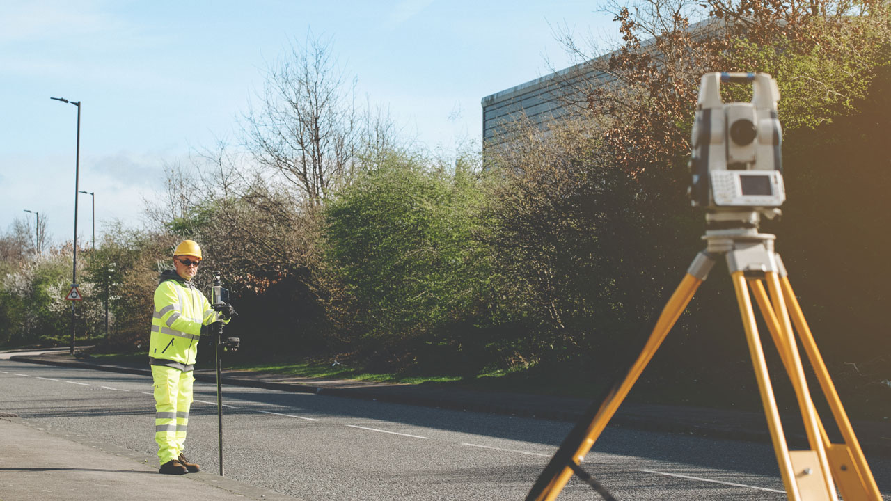
Geospatial Surveying

As technology and project complexity evolve, Tetra Tech’s experts are using the latest tools to bring clients great data and geospatial solutions in the natural, built, social, and economic environments.

Tetra Tech’s expertise covers all areas of geospatial data capture and data management. We work with a wide range of clients from local authorities and utilities companies to facilities managers and national agencies in managing and developing their assets and resources. To meet these evolving needs, we use the latest technologies and invest in our staff’s capabilities to ensure we provide safe and efficient solutions.

We survey assets above and below ground for planning and development, transport infrastructure, nuclear facilities, defence, education, healthcare, heritage, waste and water.

Our services include:

  • Digital twins
  • 3D visualisation
  • Building Information Modelling (BIM)
  • UAV inspection & mapping surveys
  • Mobile laser scanning
  • Topographical surveying
  • Underground utility mapping
  • Measured building surveys
  • Deformation monitoring
  • Industrial metrology – precision engineering surveys

Want to get in touch?