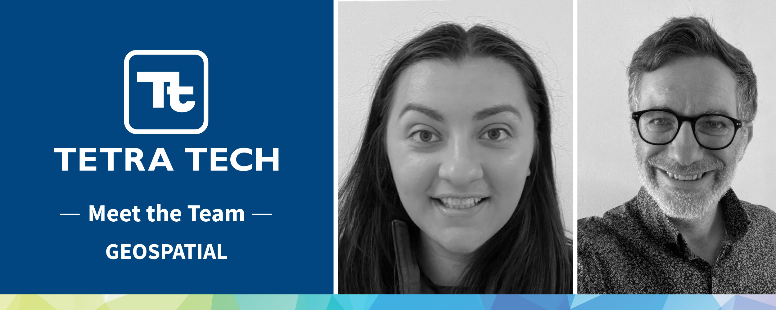
India Sawney, Geospatial Surveyor and Matthew Daniels, Principal Geospatial Surveyor are two of Tetra Tech’s talented surveyors. From surveying dense jungles in Belize to working on the most complex sites in the UK, peek into their lives as Geospatial Surveyors.
How did you get into the geospatial sector?
India: I knew a land surveyor who had been to Newcastle University and studied Surveying and Mapping Science as a degree. They thought it was something I would be interested in doing given my love for Geography and the outdoors. I completed my degree in 2019 and was keen to work for a company that would support me to progress in my career. I joined Tetra Tech as a Graduate Geospatial Surveyor.
Matthew: I followed my eldest brother into the industry following a few years trying out various careers. I joined my first employer as an assistant and specialised in utility mapping. The mix of practical and technical learning along with working in different environments, travelling to all corners of the UK and beyond was one of the main draws to this career.
What does your day-to-day job role involve?
India: My main job role is undertaking both topographical surveys and measured building surveys. I carry out the site work and process and analyse the data I have captured using our survey software to produce 2D and 3D survey deliverables. We have such a wide variety of clients across different sectors, that each day is the same, but also completely different. I get to travel across the country as well as abroad to different sites which makes my job even more interesting.
Matthew: I am split between site and office about 60:40 carrying out a variety of surveying techniques, specialising in utilities and Ground Penetrating Radar surveys. We are always Leading with Science® and therefore we utilise a range of the latest technology. My job has a great balance between working on a complex site with a variety of novel challenges but likewise has the variety of some overseas work.
What has been your most interesting project to work on through your Tetra Tech career?
India: I was given the opportunity to work on a project out in Belize just after I started at Tetra Tech. This involved surveying 230 hectares of Belizean jungle as part of a large multi-disciplinary project for one of our largest clients. I worked alongside several colleagues from different disciplines, such as Ecology and Geo-Environment to produce a 3D Topographical Survey and other reports for future works planned.
Matthew: It would be difficult to pick one project. I have been lucky enough to have worked on numerous overseas projects in Egypt, Nigeria, Stockholm and Montserrat to name a few. As a team we often get asked to carry out projects in places we would not normally travel to which is (usually) a real perk.
What sets our geospatial capabilities apart from our competitors?
India: I think the breadth of our technical capabilities set us apart from our competitors. We are quite unique in our team that each surveyor is able to take a project from cradle to grave. This means they are involved at the estimation and planning stage; they undertake the fieldwork, process data and develop the deliverables. In many other survey firms, they work as a production line which can speed things up but introduces opportunity for error in the process. Our method also provides great opportunity for development of our staff.
Matthew: Tetra Tech encourage all staff to be forward thinking and look at alternative solutions to client challenges. Our team have created and developed bespoke workflows and outputs, working with our clients to tailor these to fit with the clients’ projects. Crucially, we are a consultant first team and do not just go straight into service delivery mode. The flexibility of our technical approach and the broad capability of our staff sets us apart.
How has Tetra Tech supported you in your career?
India: Since I started at Tetra Tech, I have always been actively encouraged to progress in my career. I am a member of two global professional bodies – RICS and CICES. I was hugely supported by my colleagues during the associated application process. I also won the Tetra Tech Employee Excellence Award last year for my work on researching and testing of new geospatial technologies. I have found that the work I do is always recognised by my colleagues here at Tetra Tech. I have gained a huge amount of experience since starting at Tetra Tech, something which I don’t think I would have gained elsewhere. I would encourage anyone looking to make that next step up in their career to consider what Tetra Tech have to offer.
Matthew: Since joining Tetra Tech I have gained industry recognised qualifications to match with my experience. I have developed line management skills and technical leadership within a region of the Geospatial team as well as the Utilities capability. This has been recognised which has resulted in promotion to my current position as a Principal Surveyor.
Looking back, what advice would you give yourself when you first started at Tetra Tech?
India: Looking back, I would say don’t be afraid to ask questions. Starting out as a graduate in any industry can be daunting. I had all the background knowledge from my degree but didn’t know how to put it into practice on site.
Matthew: When I first joined the geospatial team, I was quite quiet and reserved. I would have encouraged myself to be more confident in voicing my opinion and sharing my thoughts.